Drone technology has come a long way and there are many ways how drones can help people monitoring and surveying land, structures and other land areas of interest.
Today we want to give you an example of how we can use drones to create textures and 3D models of a race track in Thailand. Recently, Thailand was chosen to get an official race track in the Moto GP motorbike racing class. MotoGB is the Forumale One of motorbikes, the top class of motorbike racing. Each year, an official video game is released for Moto GP for platforms such as Playstation or Xbox.
The developers of this game use drones technology to make these games as realistic as is possible today. So they make 3D drone surveys of all official race tracks that one can find around the world for Moto GP. As Thailand is a new track and was never surveyed before, we had the pleasure to do this exciting project.
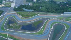
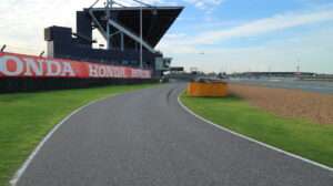
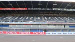
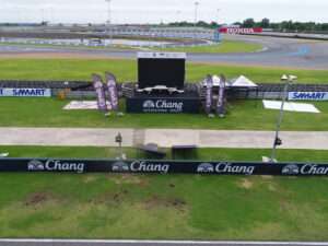
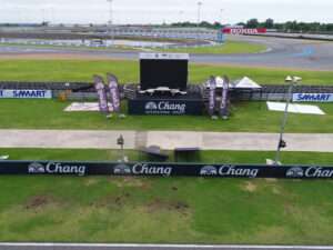
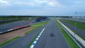
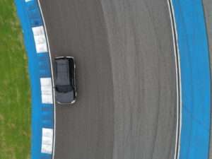
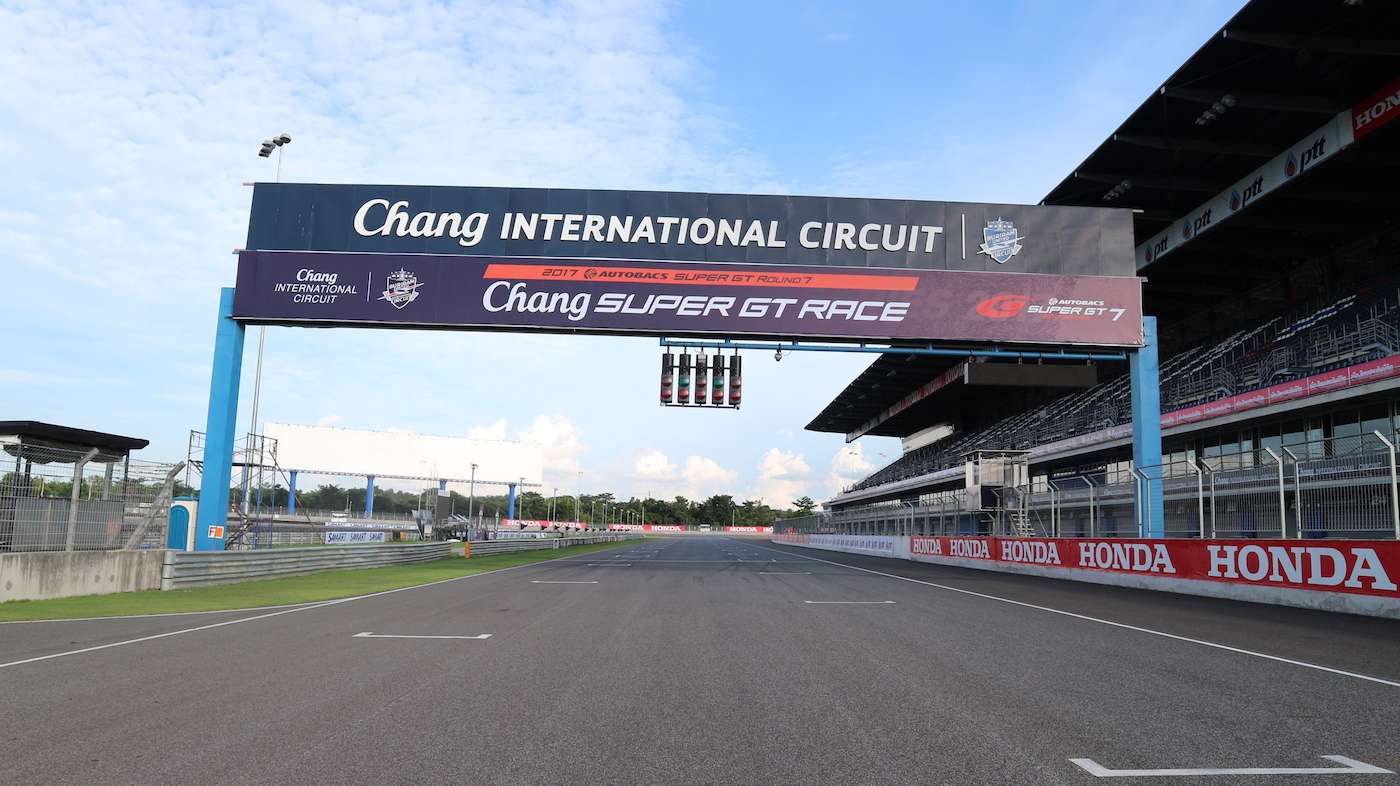
Our team surveyed the whole area around Buriram circuit race track, detailed textures photos and drone and 360 videos of the track itself.
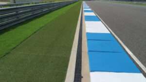
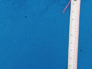
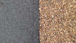
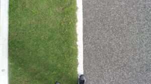
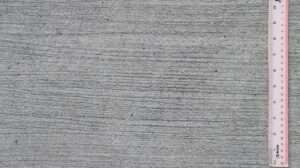
We use applications such as Drone Deploy to plan drone flights and we also use applications such as Pix4D and ALtizure to create 3D images of the race track. Besides this, we took hundreds of photos from textures that will be directly used in the final game. This happens by taking photos of certain parts of the track such as gravel, track, grass, vegetation along the track etc from different distances.
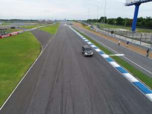
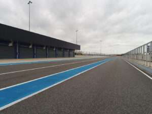
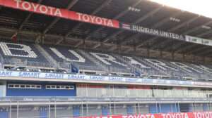
Finally we topped it off with a 360 degree video taken from the top of a car that we drone around the track. Altogether, this drone photo data, texture, drone videos from the track, and 360 video allows the developers to get an exact overview on how the track looks like and it will allow it to be recreated for the MotoGP game in almost 100% realism. Here are some more of the imagery we took from the Buriram Circuit.



good